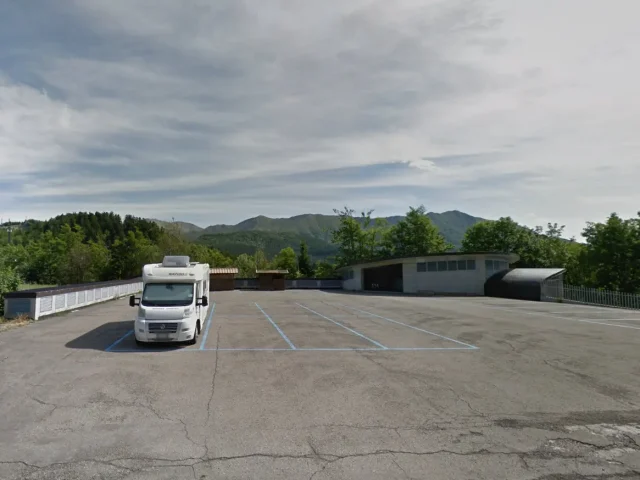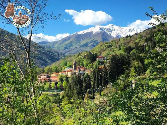
Address
Cutigliano
GPS
44.100191706412, 10.754304692355
Distance 42.49 km | Ascent 1,551 m | Descent -1,551 m | Highest point 1,488 m
What can I say. Nice turn but tiring!! After crossing the various panoramic locations of the Roncacce Taufi and descending to the characteristic village of Rivoreta, turn right and make a climb not to be underestimated (by pure climbers). Once you arrive at the Secchia, the route begins on a fabulous, clean road built with stone sketches that immediately makes you think that this was an ancient communication route! He starts to climb in an overbearing way, “shooting” you in the legs, hard jerks like the bites of an angry dog! But… strangely enough, as my cycling companion Arrigo said: “a relaxing effort!!”. You need to have trained legs and enough breath in your lungs!! Once you arrive at the Verginetta, the pleasure of the descent begins until you reach the junction for Cutigliano.


