Address
Abetone (PT)
GPS
44.146954, 10.6653763
Distance 7.36 km | Ascent 128 m | Descent -128 m | Highest point : 1,500 m
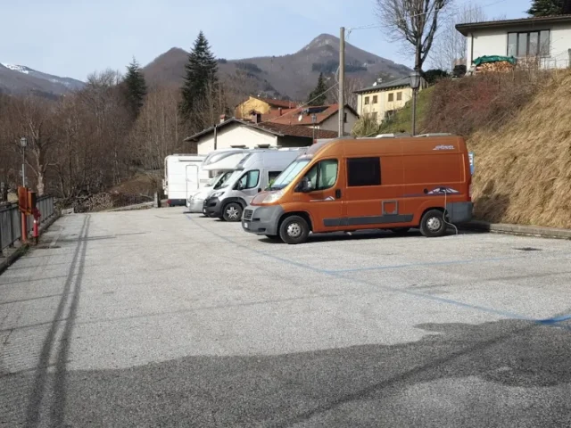
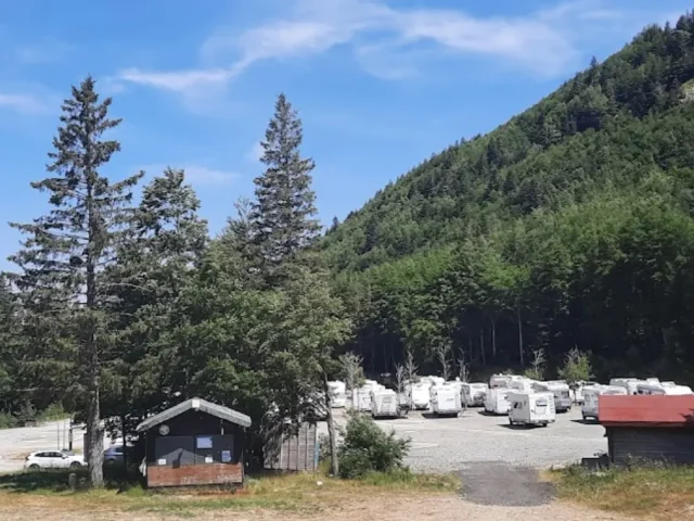
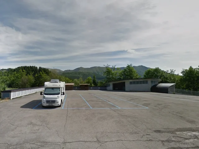
To access the route it is possible to park immediately at the beginning of the path, but there are not many places available. Alternatively, you can park in the main square of Abetone where you can park both for free and for a fee. The beginning of the path is 100 meters from the square.
This route follows the path called “Verginetta”. The road is well defined and is for the vast majority of the route in the shade of tall fir and beech trees.
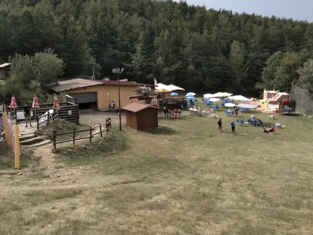
After about 1.5km from the start of the trail there is a picnic area with tables, water and BBQ facility.
Following this route, about halfway through it, there is a quick detour to the “La Casetta di Lapo” refuge.
The route has a minimal difference in height and is quite flat, especially in the first part. The slightly steeper ascent is located towards the middle, just before reaching the hut. The route is ideal for families and children.