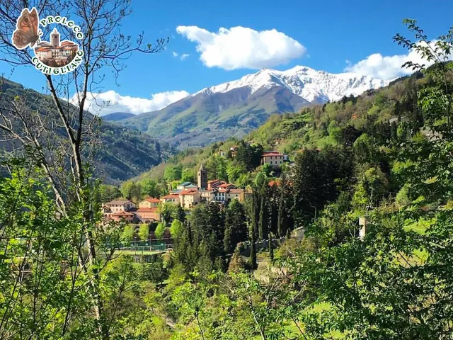
Address
Faidello (MO)
GPS
44.159565144232, 10.64204093917
Distance 29.48 km | Ascent 1,025 m | Descent -1,025 m | Highest point : 1,656 m
30 km “all mountain adventure” circular route with a positive elevation development of 1150m.
The most interesting part of the tour develops in the Tagliole valley, where mountains such as the Giovo and the Rondinaio dominate. Below them are the beautiful Lake Baccio and Lake Santo, reached by the route. On the shore of the latter, it is possible to refresh yourself at the Vittoria refuge managed by the legendary Tex, an excellent connoisseur of the area, as well as a mountain rescue technician.
Once we reach Foce al Giovo, after having traveled along the Strada del Duca, we take the CAI 519 path, very stony and pedalable only in parts, here the push is a must, be careful. Stop at the lakes.
Leaving Lake Santo, we take a descent on asphalt until we intercept shortly after the CAI 531 path, excellent and all downhill to the solitary and not very busy road to Rotari. From here uphill on asphalt until you meet with some difficulty, due to the “closed” dirt road, the beginning of the CAI 511 path, even here you proceed at times with a push technique, up to the hill. Then all downhill alternating cart tracks with enjoyable single tracks up to the locality of Caprile. Once we reach the Brenner road near Fiumalbo, we return to the starting point.